
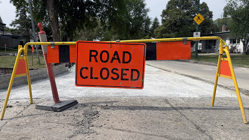
Our annual construction season is well underway.
Crews are hard at work on approximately:
- 175 lane kilometres of roads
- 50 sidewalk locations
- 15 kilometres of bike lanes and active transportation pathways
There is approximately $156.8 million budgeted for local and regional street improvements in 2026. This includes project funding for improved active transportation infrastructure.
Growing the active transportation network
The Regional and Local Street Renewal program includes several key active transportation projects:
- Edmonton Street bike lane – As part of CentrePlan 2050, we are constructing protected bike lanes on the west side of Edmonton Street.
- Sherbrook Street bike lane upgrade – We are upgrading the painted bike lane from Broadway to Cumberland Avenue to be a fully protected bike lane.
- Phase 2 of Northwest Hydro Corridor – This phase includes extension of the corridor pathway from Church Avenue to Selkirk Avenue, and from Leila Avenue to Daylan Marshall Gate Park.
Major road work ahead
Road renewal projects planned as part of the Regional and Local Street Renewal program includes the following major corridors:
- Downtown Streets – Streets included for renewal this year are Edmonton Street, Kennedy Street, and St. Mary Street.
- St. Mary’s Road from PTH 100 to the Floodway – This project renewing St. Mary’s Road from the South Perimeter to the Floodway will complement work completed by the Province on the St. Mary’s Interchange and the PR 200 Floodway Bridge Replacement.
- Lagimodiere Twin Overpass Rehabilitation and Roadworks – The bridge rehabilitation project includes the renewal of Lagimodiere Boulevard. New active transportation paths will be constructed on Concordia Avenue and Lagimodiere Boulevard to close gaps in the AT network.
Full lists of road, bridge, and active transportation projects are outlined in the multi-year Capital Budget.
Stay up-to-date during construction season
It’s shaping up to be a busy construction season. You can find the latest information on road impacts on our lane closures map. It shows all lanes of traffic affected by any type of closure (from utilities work to private construction to road renewals)
You can also check out road construction map. You can see all scheduled roadway improvements, their timeline, and their traffic impacts.
Find the fastest route
Odds are you’ll likely encounter road work at some point this summer. Consider downloading Waze to find the fastest route. Waze is a free, real-time traffic and navigation app. It shares traffic information from the our Transportation Management Centre as well as tips submitted by other drivers.
Nobody likes being stuck in traffic. We know how frustrating it can be when you encounter a construction zone. Please remember to slow down, remain respectful, and follow the rules of each construction site.
Originally published June 11, 2025